Samiksha Jaiswal (Editor)

Kaya, South Sudan

Updated on
Edit
Like
Comment
Share on FacebookTweet on TwitterShare on LinkedInShare on Reddit
Country
  
South Sudan

County
  
Morobo County

Local time
  
Saturday 1:03 PM

State
  
Yei River State

Climate
  
Aw

Kaya, South Sudan

Weather
  
32°C, Wind E at 19 km/h, 32% Humidity
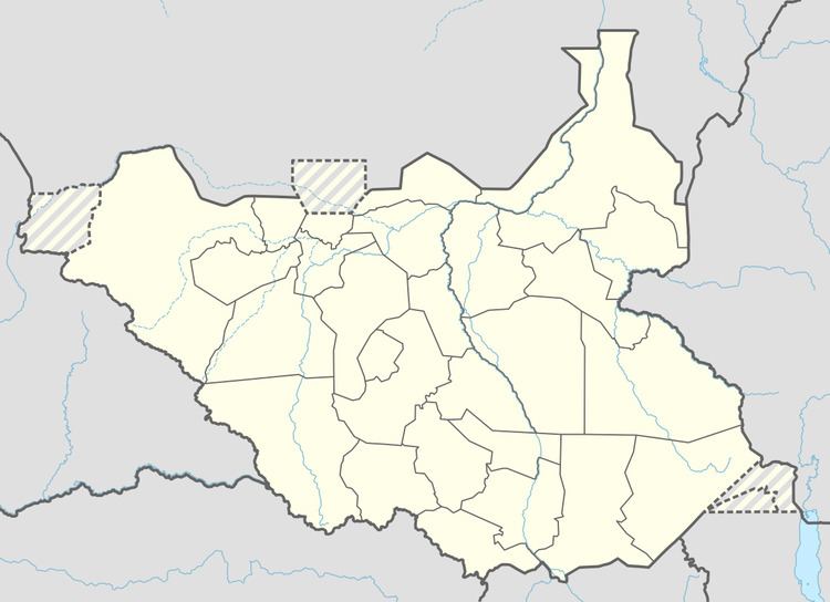
Kaya is a city in Yei River State, South Sudan.

Contents

Map of Kaya, South Sudan

Location

The city is located in Kaya Payam, Morobo County, Yei River State, in extreme southwestern South Sudan, at the International border with the Republic of Uganda. Kaya is located approximately 78 kilometres (48 mi), by road, southeast of Yei the nearest large city. This location lies approximately 220 kilometres (140 mi), by road, south of Juba, the capital of South Sudan and largest city in the country. Kaya sits directly across the border from Oraba, in Uganda.

History

Kaya was a battle scene during the Second Sudanese Civil War and was conquered by the Sudanese People's Liberation Army (SPLA) on 10 March 1997.

Demographics

There are no reliable population estimates for the city of Kaya, South Sudan, because of the following:

  • The Second Sudanese Civil War (1983–2005) forced many citizens to flee the city
  • Since the signing of the Comprehensive Peace Agreement in January 2005, a constant stream of South Sudanese returnees use the city as a transit point to re-enter the country
  • Kaya is a busy commercial center, attracting traders from South Sudan, Uganda and the Democratic Republic of the Congo. There is a constant movement of people and goods in and out of the city, around the clock.
  • Economy

    The city's infrastructure was decimated during the civil war. However, since the cessation of hostilities in 2005, commercial life is gradually returning to the city. The road between Kaya and Yei was repaired. It was financed by Habitat for Humanity and the World Food Program. With those repairs completed, the travel time between Kaya and Yei was reduced from five hours (5) hours to one (1) hour. The city is served by a branch of Equity Bank (South Sudan).

    Points of interest

    The following points of interest are found in or near Kaya, South Sudan:

  • The offices of Kaya City Council
  • The administrative headquarters of Kaya Payam
  • Kaya Central Market
  • The International border between South Sudan and Uganda
  • The International border between South Sudan and the Democratic Republic of the Congo
  • The International border between Uganda and the Democratic Republic of the Congo
  • A presbyterian church, built in 2003
  • A branch of Equity Bank (South Sudan)
  • The Kaya HIV/AIDS Health Center - Built in 2010 with USAID funds, the center offers counselling testing and treatment
  • The town of Oraba - Oraba sits directly across the border on the Ugandan side.
  • The precise South Sudan–Uganda–Democratic Republic of the Congo tripoint, lies a few kilometers (miles), south of Kaya.
  • References

    Kaya, South Sudan Wikipedia