
Elevation 353 m (1,158 ft) Population 54,365 (2006) Local time Saturday 10:02 AM | Time zone GMT (UTC+0) Number of airports 1 | |
 | ||
Weather 33°C, Wind E at 21 km/h, 8% Humidity | ||
Festival jesus en prison 3eme edition a kaya burkina faso
Kaya is the seventh largest city in Burkina Faso, lying northeast of Ouagadougou, to which it is connected by railway. It is a centre for weaving and tanning.
Contents
- Festival jesus en prison 3eme edition a kaya burkina faso
- Map of Kaya Burkina Faso
- Demographics
- Infrastructure
- Education
- Climate
- Sister cities
- References
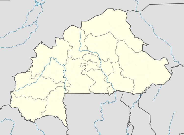
Map of Kaya, Burkina Faso
Kaya is the capital of the province Sanmatenga. It is 100 kilometres (62 mi) from Ouagadougou, the capital of Burkina Faso.
Demographics
Kaya had 66,851 inhabitants (2012).
Population growth:
Infrastructure
Kaya Airport is a public airport in Kaya. As of 2014 it did not have any scheduled commercial flights.
In 1988 Kaya was connected by railway to Ouagadougou but, as of 2014, there were no passenger services available.
Kaya is a road junction for the N3 and N15 national highways that link the city with Dori, Ouagadougou and Pouytenga, Boulsa, Kongoussi and Ouahigouya, respectively.
Education
Climate
Köppen-Geiger climate classification system classifies its climate as hot semi-arid (BSh).