
Country Cyprus Time zone EET (UTC+2) Population 311 (2001) | Local time Saturday 5:51 AM | |
 | ||
Weather 7°C, Wind NW at 5 km/h, 94% Humidity | ||
Kato Moni (Greek: Κάτω Μονή) is a village in the Nicosia District of Cyprus, located 7 km south of Peristerona. In 2001 the village had 311 inhabitants. East of the town lies the now uninhabited Turkish Cypriot village of Agioi Iliofotoi. Kato Moni is connected via road to the village of Orounta in the north (2 km), to the village of Agioi Iliofotoi in the south-east (1,5 km), and to the village of Agia Marina Xyliatou in the south-west 3 km).
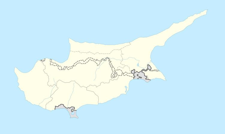
Map of Kato Moni, Cyprus
References
Kato Moni Wikipedia(Text) CC BY-SA