
Country Russia, Belarus Basin size 5,410 km (2,090 sq mi) Discharge 39.6 m³/s Countries Russia, Belarus | River mouth Daugava Length 136 km Basin area 5,410 km² | |
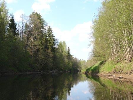 | ||
Kasplya (Belarusian and Russian: Каспля) is a river in Smolensky, Demidovsky, and Rudnyansky Districts of Smolensk Oblast of Russia and in Vitebsk Region of Belarus, and a major left tributary of the Daugava River. Its length is 136 kilometres (85 mi), the first 116 kilometres (72 mi) are in Russia, and the rest in Belarus. It joins the Daugava in the urban-type settlement of Surazh. The town of Demidov is situated on the Kasplya.
Map of %D1%80. %D0%9A%D0%B0%D1%81%D0%BF%D0%BB%D1%8F
The source of the Kasplya is in Lake Kasplya in Smolensky District. It flows north, crosses the border with Demidovsky District and turns northwest. It flows through Demidov, and next to the selo of Boroda turns west, crosses Rudnyansky District and enters Belarus. There, it turns northwest again and enters the Daugava.
During the Viking Age, the river was an important part of the Dnieper trade route, as there was a portage from the Kasplya to the Dnieper tributaries entering the Dnieper near Gnezdovo.