
3-digit postal code prefix 662 | Time zone WAT (UTC+1) Area 6,620 km² | |
 | ||
Weather 38°C, Wind NE at 11 km/h, 8% Humidity | ||
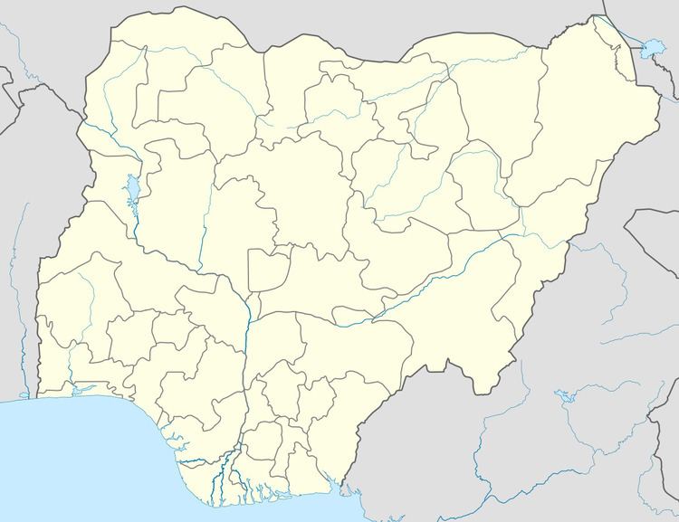
Karim Lamido is a Local Government Area in Taraba State, Nigeria. Its headquarters are in the town of Karim Lamido at9°18′00″N 11°12′00″E.
It has an area of 6,620 km² and a population of 195,844 at the 2006 census.
The southern border of Karin Lamido is the Benue River and it is traversed by several tributaries of that river.
The postal code of the area is 662.
References
Karim Lamido Wikipedia(Text) CC BY-SA