
Population 34 (2011 census) Postal code 4117 | Postcode(s) 4117 | |
 | ||
Location 22 km (14 mi) south-east of Brisbane CBD State electorate(s) Electoral district of Stretton | ||
Karawatha is an outer southern suburb of the City of Brisbane, Queensland, Australia. At the 2011 census the suburb recorded a population of 34.
Contents
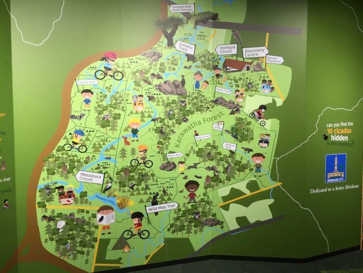
Map of Karawatha QLD 4117, Australia
It was formerly known as Berrinba, but now Berringa is the name of the suburb to the south within Logan City. Karawatha is 22 kilometres (14 mi) south-east of the Brisbane CBD.
History
The naming of the suburb Karawatha originates from an Aboriginal word meaning a place with pine trees.
Geography
Karawatha is a sparsely populated suburb with few structures and the majority of the land used as undeveloped park land, known as Karawatha Forest.
Facilities
The Islamic College of Brisbane, which offers education P-12, is located in Karawatha, at the Logan Border, next to the Karawatha Forest.
References
Karawatha, Queensland Wikipedia(Text) CC BY-SA