Population (2010 Census) 6,682 inhabitants Local time Friday 11:28 AM | Time zone YEKT (UTC+05:00) | |
 | ||
Weather -4°C, Wind SW at 13 km/h, 91% Humidity | ||
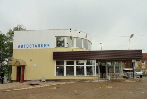
Karagay (Russian: Карагай) is a rural locality (a selo) and the administrative center of Karagaysky District of Perm Krai, Russia, located on the Obva River. Population: 6,682 (2010 Census); 6,754 (2002 Census); 6,339 (1989 Census).
Map of Karagay, Permskiy Kray, Russia, 617210
Its name is of the Turkic origin and translates from the Bashkir language as "pine" or "pine forest". It was first mentioned in 1623 as a village of six households. It serves as the administrative center of the district since 1923.
References
Karagay, Perm Krai Wikipedia(Text) CC BY-SA
