
Territory Pweto Territory Local time Friday 6:53 AM | Climate Aw Province Katanga Province | |
 | ||
Country Democratic Republic of Congo Weather 19°C, Wind N at 5 km/h, 97% Humidity | ||
Kapulo is a village in the Democratic Republic of the Congo, the location of a cassiterite mine and of a planned copper mine.
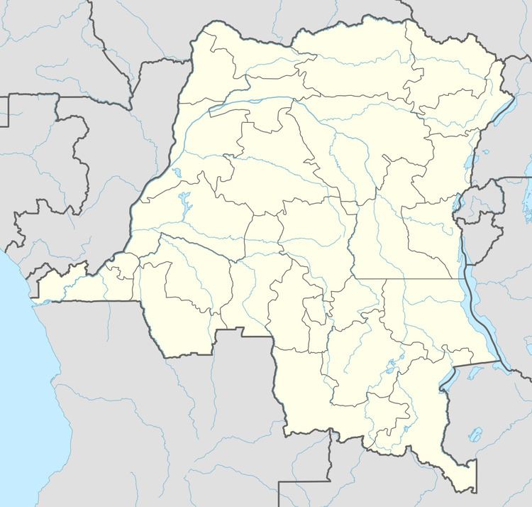
Map of Kapulo, Democratic Republic of the Congo
In 2007 one of the two remaining full FARDC brigades in Katanga was stationed in Pweto Territory. This brigade, the 62nd, was illegally exploiting the Cassiterite mine in Kapulo. The ore is exported through the Musosa, Moba Territory border crossing into Zambia, bypassing customs posts.
The Australian mining company Mawson West acquired the rights to a copper mine in the area from Anvil Mining in May 2010. The ore deposit is on the eastern edge the Katanga sedimentary basin, and is north of the main copper belt in the Kundelungu Plateau zone. There are two ore zones, Shaba and Safari, separated by the 60 kilometres (37 mi) long Kapulo fault. In July 2011, Mawson West announced that a feasibility study for an open cut copper mine at Kapulo had given positive results. The find was valued at $141 million. Basic reserves are estimated at 200,000 tonnes of copper metal and 1.8 million ounces silver.
Assuming construction started immediately, a processing plant could start operations in November 2012. There could be further potential underground and elsewhere along the Kapulo fault. Infrastructure would include plant and buildings at the mine, a water dam and tailings storage facility. The company would upgrade the road from Pweto to improve access to the Pweto airstrip, which is 45 minutes by road away from the mine.