Country India District Thrissur Vehicle registration KL- | State Kerala Time zone IST (UTC+5:30) Local time Friday 5:04 AM | |
 | ||
Weather 25°C, Wind E at 2 km/h, 90% Humidity | ||
Kannamkulangara/Kannankulangara is a desam [area] in the Southern part of Thrissur which is a part of OR intersected with Koorkenchery; in Kerala state, South India.
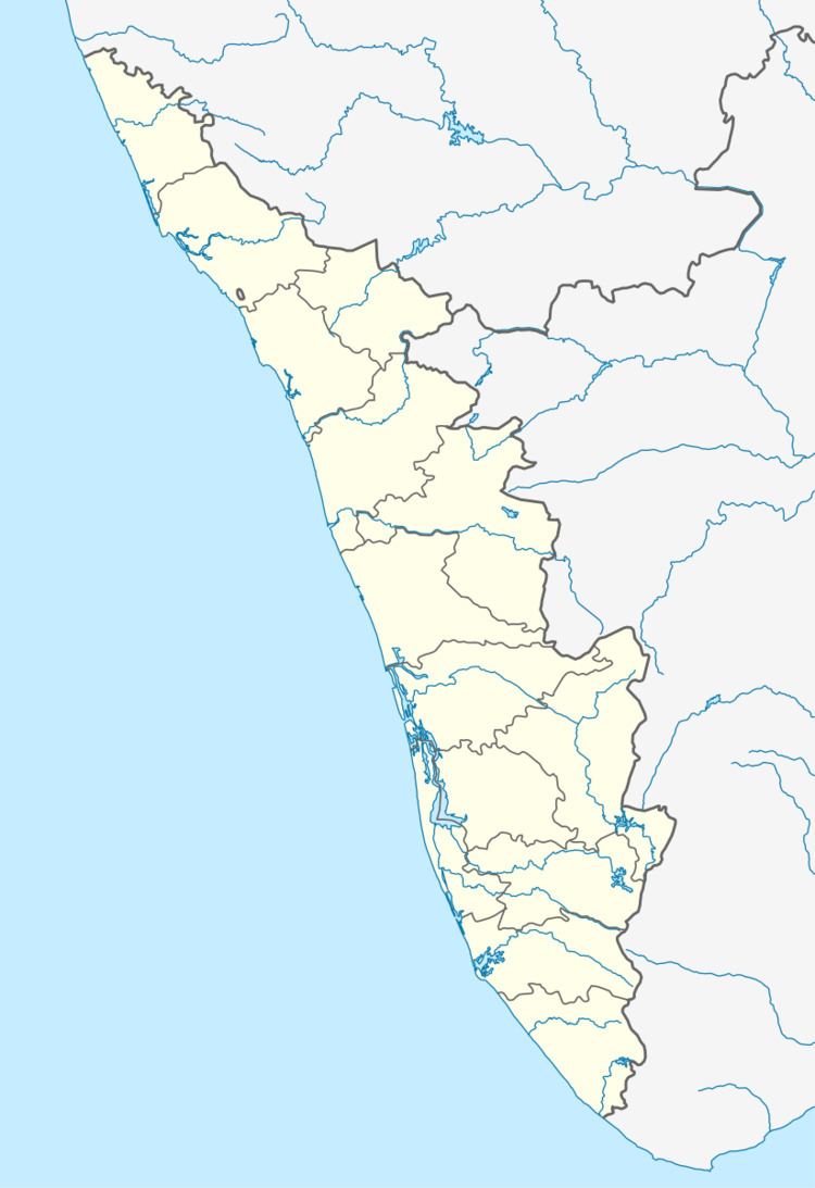
Map of Kannamkulangara, Thrissur, Kerala
Kannankulangara is a commercial and residential area in Thrissur, Kerala, India. It is very closer to the city starting from Sakthan Thampuran Bus stand and extending towards Chiyyaram and Koorkenchery Maheswara Temple. Kannankulangara is Ward 33 of Thrissur Municipal Corporation.
Kannamkulangara is home to the Mahavishnu Temple and Christ the King Church.
The name "Kannankulangara " has meaning, which can interpreted as "Land near to Kannan's Pond". There is also a Pond near to the Mahavishnu Temple. So it's said that the name "Kannan" + "Kulam" + "Kara" = Kannankulangara. There is an annual festival celebrated in the temple.
Hindus and Christians are dominant in this place which has now become a prime residential area.
Trichur Heart Hospital,Trichur Head Post Office,Income Tax/Customs" Offices are located in Kannamkulangara, Thrissur.
