
Area 6.14 km² Local time Friday 8:22 AM Flower Lily | Population 24,475 (1 Oct 2007) | |
 | ||
Time zone Japan Standard Time (UTC+9) City hall address 3350 Kanmaki, Kanmaki-chō, Nara-ken639-0293 Website www1.ocn.ne.jp/~kanmaki/ Weather 7°C, Wind W at 21 km/h, 70% Humidity District Kitakatsuragi District, Nara | ||
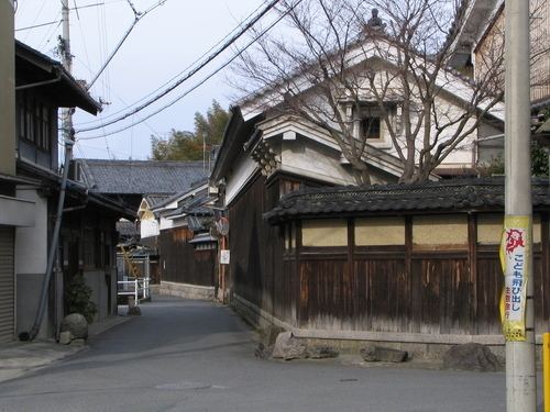
Kanmaki (上牧町, Kanmaki-chō) is a town located in Kitakatsuragi District, Nara Prefecture, Japan.
Contents
- Map of Kanmaki Kitakatsuragi District Nara Prefecture Japan
- Geography
- Surrounding municipalities
- Education
- References
Map of Kanmaki, Kitakatsuragi District, Nara Prefecture, Japan
As of October 1, 2007, the town has an estimated population of 24,475. The total area is 6.14 km².
Geography
Located in northwestern Nara Prefecture, the town is slightly hilly. Only a small portion of the town is used for agriculture. It is about 25 km apart from Nara City and 25 km from Osaka city.
Surrounding municipalities
Education
References
Kanmaki, Nara Wikipedia(Text) CC BY-SA