
- left Brogers Creek - elevation 290 m (951 ft) - elevation 56 m (184 ft) Bridges Hampden Bridge | - location near Barron Flat | |
 | ||
- right Yarrunga Creek, Bundanoon Creek | ||
The Kangaroo River is a perennial river of the Shoalhaven catchment located in the Southern Highlands and Illawarra regions of New South Wales, Australia.
Contents
Map of Kangaroo River, New South Wales, Australia
Location and features
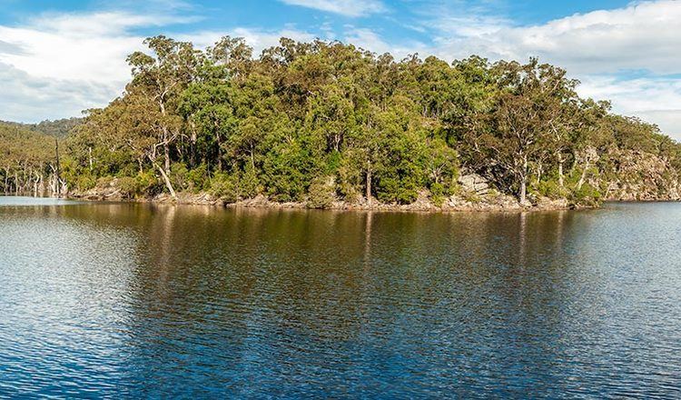
The river rises within the Budderoo National Park about 3 kilometres (1.9 mi) north-west of Illawarra lookout. It initially flows in a north-westerly direction to Carrington Falls, where the river crosses the western escarpment of the Budderoo Plateau. The river then turns to the south-west and flows through the communities of Upper Kangaroo Valley and Kangaroo Valley, and into the Morton National Park. The river ends its course by flowing into Lake Yarrunga, a reservoir formed by the Tallowa Dam and situated just downstream of the confluence of the Shoalhaven and Kangaroo rivers. The river descends 234 metres (768 ft) over its 47 kilometres (29 mi) course.
The river is crossed by the historic Hampden Bridge in the town of Kangaroo Valley.