
- land 0.31 sq mi (1 km) - summer (DST) CDT (UTC-5) Population 488 (2013) Local time Saturday 1:00 PM | - water 0.00 sq mi (0 km) Area 80 ha Area code 630 Postal code 60144 | |
 | ||
Weather 4°C, Wind NW at 24 km/h, 69% Humidity | ||
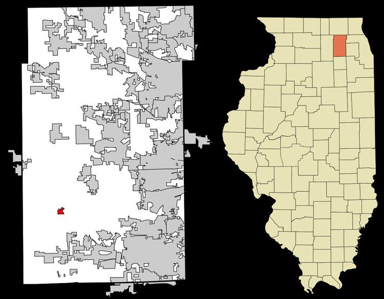
Kaneville is a village in southwestern Kane County, Illinois, United States. It was incorporated in November 2006 and the first elected officials were chosen in elections held on April 17, 2007. The village had a population of 484 at the 2010 census. Kaneville is part of the Chicago metropolitan area. The village was originally called Royalton, but this was found to be taken by another settlement. The name was then changed to Kaneville, referring to Elias Kane.
Contents
Map of Kaneville, IL 60119, USA
Geography
According to the 2010 census, Kaneville has a total area of 0.31 square miles (0.80 km2), all land.
Notable natives
References
Kaneville, Illinois Wikipedia(Text) CC BY-SA