
Country United States Time zone CST (UTC-6) Area 126.9 km² Population 995 (2010) | Established November 4, 1884 Elevation 156 m Local time Saturday 12:42 PM | |
 | ||
ZIP codes 62016, 62027, 62052, 62054, 62081 Weather 8°C, Wind NW at 21 km/h, 51% Humidity | ||
Kane Township is one of thirteen townships in Greene County, Illinois, USA. As of the 2010 census, its population was 995 and it contained 441 housing units.
Contents
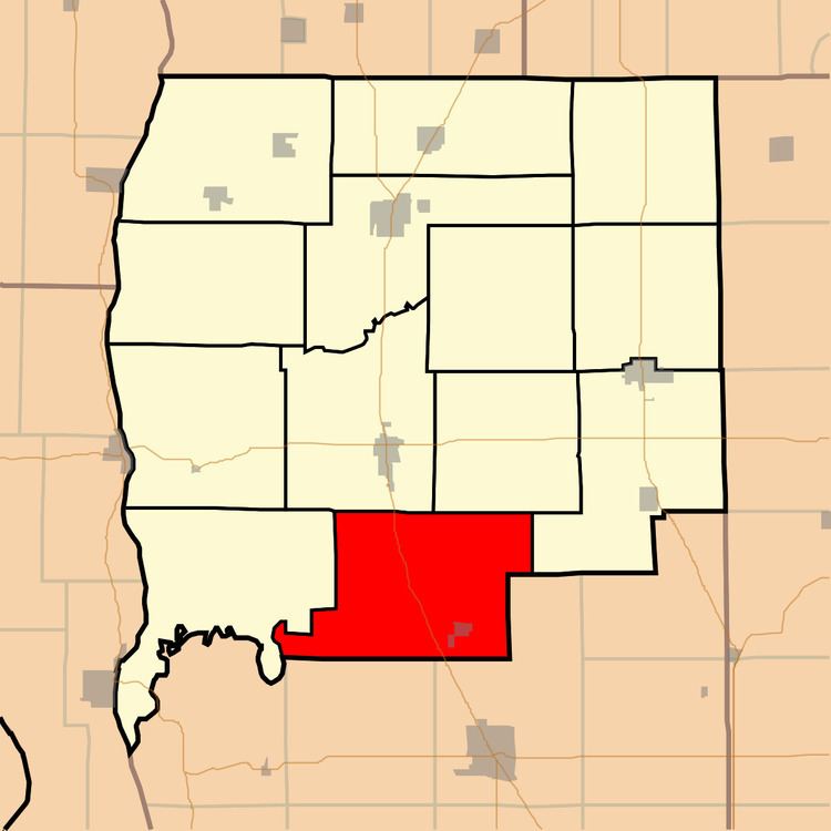
- Map of Kane Township IL USA
- Geography
- Cities towns villages
- Unincorporated towns
- Extinct towns
- Cemeteries
- Major highways
- School districts
- Political districts
- References
Map of Kane Township, IL, USA
Geography
According to the 2010 census, the township has a total area of 49 square miles (130 km2), of which 48.97 square miles (126.8 km2) (or 99.94%) is land and 0.03 square miles (0.078 km2) (or 0.06%) is water.
Cities, towns, villages
Unincorporated towns
(This list is based on USGS data and may include former settlements.)
Extinct towns
(These towns are listed as "historical" by the USGS.)
Cemeteries
The township contains these six cemeteries: Burch, Cannedy, Erwin, Kane, Parker and Thompson. and Mt Pisgah
Major highways
School districts
Political districts
References
Kane Township, Greene County, Illinois Wikipedia(Text) CC BY-SA