
Population 1,284 (2011 census) State electorate(s) Bathurst Local time Sunday 4:22 AM | Postcode(s) 2848 Postal code 2848 Federal division Division of Hunter | |
 | ||
Location 235 km (146 mi) NW of Sydney
93 km (58 mi) NE of Bathurst
91 km (57 mi) N of Lithgow
61 km (38 mi) SE of Mudgee
7 km (4 mi) S of Rylstone Weather 19°C, Wind E at 18 km/h, 99% Humidity Lga Mid-Western Regional Council | ||
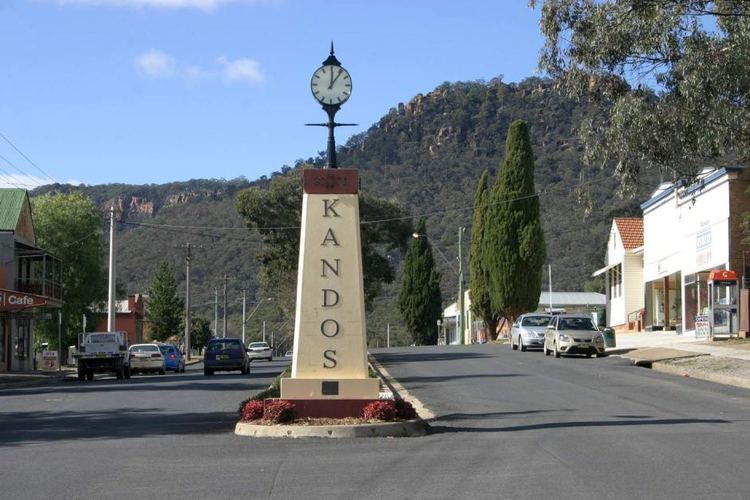
Kandos is a small town in New South Wales, Australia, in the Mid-Western Regional Council. It is located on the Bylong Valley Way. At the 2011 census, Kandos had a population of 1,284 people.
Contents
Map of Kandos NSW 2848, Australia
History and economy
The town was established in 1913 to take advantage of local supplies of limestone. The New South Wales Cement Lime and Coal Company lifted the limestone from quarries by an enormous aerial ropeway.
The town was originally named Candos, an acronym of the Board of NSW Cement, Lime and Coal Co Ltd. In 1915, the name Candos was considered too similar to Chandos in South Australia, and the name was changed to Kandos, the name was registered with the NSW Registrar General.
For many years Kandos' main non-agricultural industry was the production of cement. However, the cement manufacturing facility and associated limestone quarry (both operated by Cement Australia) were closed in September 2011. This was expected to result in the loss of 98 jobs.
Another major industry in the region was coal-mining. Centennial Coal operated the Charbon coal mine until its closure. The underground mine closed in March 2014, while open cut mining continued until 2015.
The town contains the northern-most Field Support Centre of Endeavour Energy.
Transport
Kandos is located on the Wallerawang to Gwabegar railway line. The line was extended from Capertee to Rylstone (7 km to the north of Kandos) on 9 January 1884. Kandos station was opened in 1915 as Candos before being renamed Kandos the same year.
On 25 May 2007, the rail owner Rail Infrastructure Corporation announced that the Kandos to Gulgong line would be suspended from use.
Cement haulage ceased following closure of the cement works in 2012, while coal haulage ceased following closure of Charbon colliery in 2015.
The line has been reopened temporarily for charter passenger tours, as recently as November 2015.
Passenger rail to Mudgee closed in 1985.
Since 1985, coach services from Kandos south to Lithgow and north to Mudgee have provided the only passenger connection to Kandos. The operator was Countrylink until 30 June 2013, which was rebranded as NSW Trainlink from 1 July 2013.
Churches
Kandos Museum
Housed in the former Methodist church building, the Kandos Bicentennial Industrial Museum has a collection that runs from 20th century heavy industrial machinery through to personal memorabilia and intimate journal sketches.
Kandos also has the Harley Museum of NSW containing a collection of early model bikes.