District Thrissur Vehicle registration KL- | Time zone IST (UTC+5:30) Local time Saturday 10:10 PM | |
 | ||
Weather 28°C, Wind W at 5 km/h, 81% Humidity | ||
Kandanissery is a small village in the Indian state of Kerala.
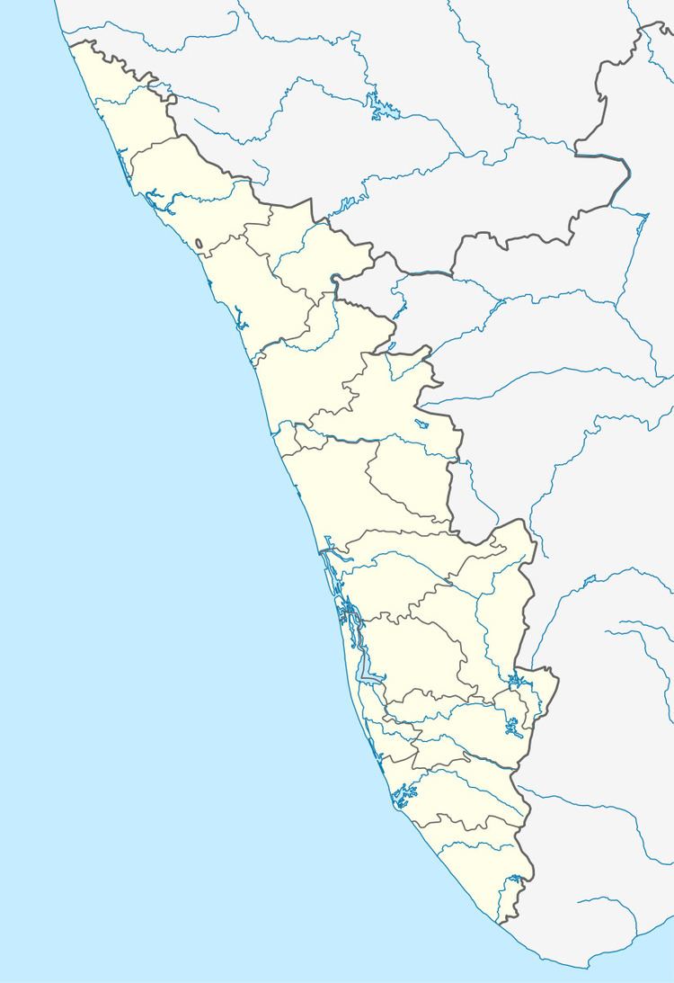
Map of Kandanissery, Thaikkad, Kerala
'Guruvayur' a well known Hindu pilgrimage centre is very near to Kandanissery.
There is no idea about the origin of name 'Kandanissery'.
Human settlement began in this area around bc 1000. The very fertile soil and plenty of water attracted human settlement. Paddy and Coconut were main crops. We can see the remains of Jaina and Brahmin settlement here. Small caves known as 'munimada' still intact, kudakkallu an old burial site is in the border of kandnaissery. Some old temples are clear evidence of Brahmin settlement. In distant past small group of Brahmins dominate over Ezhavas by political power and money. By some unknown reason's a type of revolution began in ezhava community and it leads to the crush of the Brahmin settlement. This is a real setback to Brahmins, they are refugee's in their own land.They pass some of their properties and Goddess to a Nair family. Thus the ownership of 40%land goes to the hand of Nair family. At that time some ezhava families possess huge area of land. Some other families possess land by giving rent to the chiralayam raja family and choondakathu othalur mana. After the retreat of Brahmin's some ezhava families became exploiters of poor peasant's. It end after the Indian independence, by the bill of 'land reform' by the communist government in Kerala headed by E.M. Sankaran Nambudirippad.
