Supriya Ghosh (Editor)

Kamo, Okayama

Updated on
Edit
Like
Comment
Share on FacebookTweet on TwitterShare on LinkedInShare on Reddit
Country
  
Japan

Prefecture
  
Okayama Prefecture

Population
  
5,311 (2003)

District
  
Tomata District, Okayama

Region
  
Chūgoku

Area
  
159.3 km²

Local time
  
Saturday 10:02 PM

Kamo, Okayama

Merged
  
February 28, 2005 (now part of Tsuyama)

Time zone
  
Japan Standard Time (UTC+9)

Weather
  
1°C, Wind N at 3 km/h, 95% Humidity

Kamo (加茂町, Kamo-chō) was a town located in Tomata District, Okayama Prefecture, Japan.

Contents

As of 2003, the town had an estimated population of 5,311 and a density of 33.35 persons per km2. The total area was 159.27 km2.

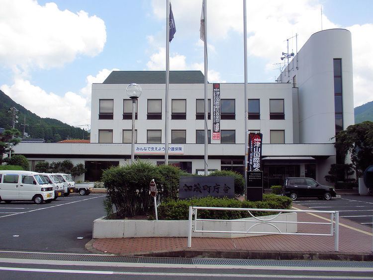
On February 28, 2005, Kamo, along with the village of Aba (also from Tomata District), the town of Shōboku (from Katsuta District), and the town of Kume (from Kume District), was merged into the expanded city of Tsuyama and no longer exists as an independent municipality.

Adjoining municipalities

  • Okayama Prefecture
  • Tsuyama
  • Kagamino
  • Kamisaibara
  • Aba
  • Shōboku
  • Tottori Prefecture
  • Tottori
  • Chizu
  • Education

  • Kamo Elementary School
  • Kamo Junior High School
  • Railways

  • West Japan Railway Company
  • Inbi Line
  • Mimasaka-Kamo Station - Chiwa Station - Mimasaka-Kawai Station
  • Road

  • Prefectural roads:
  • Okayama Prefectural Route 6 (Tsuyama-Chizu-Hattō)
  • Okayama Prefectural Route 68 (Tsuyama-Kamo)
  • Okayama Prefectural Route 75 (Kamo-Okutsu)
  • Okayama Prefectural Route 118 (Kamo-Mochigase)
  • Okayama Prefectural Route 336 (Kurami-Sainotani)
  • References

    Kamo, Okayama Wikipedia