
Country United States County Cuyahoga County Neighborhoods list Asian population 1.3% Black population 1.6% Population 21,568 (2010) | Time zone EST (UTC-5) Hispanic population 3.1% White population 94.6% Area code 216 | |
 | ||
Restaurants West Park Station, PJ McIntyre's Irish Pub, Gene's Place To Dine, Hatfield's Goode Grub, Jackie Chen's Dragon T | ||
Video kamm s corners a suburban neighborhood in the city
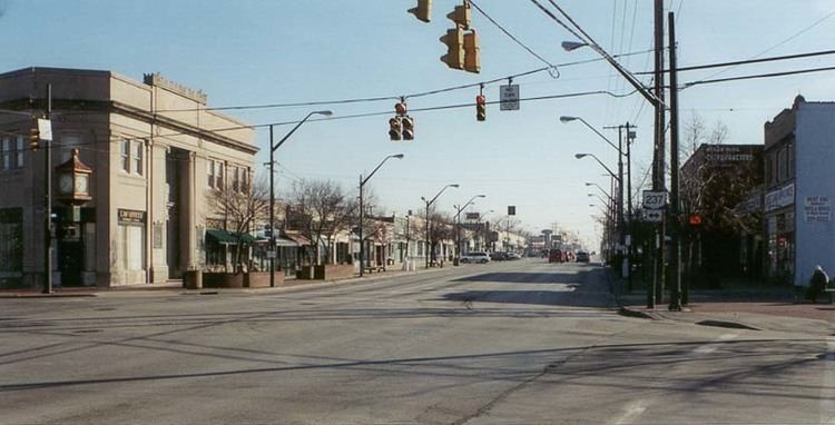
Kamm's Corners is a neighborhood on the west side of Cleveland, Ohio. It is roughly bounded by the Rocky River on the west, I-90 and the city of Lakewood to the north, the New York Central Railroad tracks (now Amtrak), to the east and Puritas Road to the south.
Contents
- Video kamm s corners a suburban neighborhood in the city
- Map of Kamms Corners Cleveland OH USA
- Video the kamm s corners farmers market has it all
- West Park
- Shopping
- References
Map of Kamm's Corners, Cleveland, OH, USA
Video the kamm s corners farmers market has it all
West Park
Named for early settler, John West, the neighborhood was originally part of the larger municipality of West Park in Rockport Township. Annexed to Cleveland in 1923, West Park was the last large suburb to become part of the city. West Park has an estimated 57,000 people.
Shopping
Kamm's Corners & Kamm's Corners Plaza ,Warren Village
References
Kamm's Corners Wikipedia(Text) CC BY-SA