
Country Japan Prefecture Tokushima Prefecture Population 6,325 (1 May 2012) | Region Shikoku District Myōzai Local time Saturday 9:34 PM | |
 | ||
Time zone Japan Standard Time (UTC+9) City hall address 100 Jinjyō-ji Honnoma, Kamiyama-chō, Myōzai-gun, Tokushima-ken
771-3395 Weather 5°C, Wind SW at 6 km/h, 80% Humidity Points of interest Shōsan‑ji Temple, Amagoino Falls, Jintsuno Falls, Higan‑ji Temple, Shozanjiyama | ||
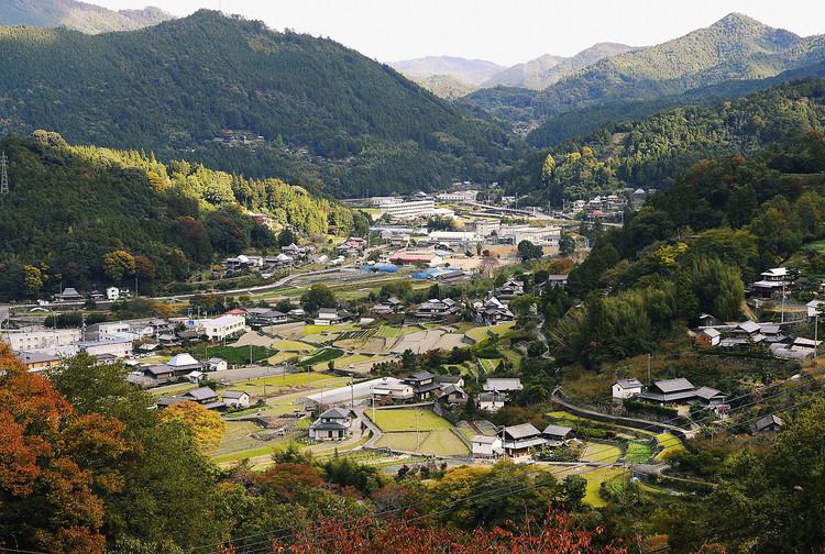
Kamiyama (神山町, Kamiyama-chō) is a town in Myōzai District, Tokushima Prefecture, Japan.
Contents
Map of Kamiyama, Myozai District, Tokushima Prefecture, Japan
As of May 1, 2012, the town has an estimated population of 6,325, with 2,574 households, and a density of 36.50 people per km2. The total area is 173.31 km2.
The area has been settled since ancient times and is mentioned in the Nihon Shoki. Notable sights include the Amagoi Waterfalls, regularly listed among the 100 most beautiful waterfalls of Japan, plum orchards, Shosan-ji Temple, one of the 88 sites on the Shikoku pilgrimage route, and a 500-year-old Ginkgo tree, which is especially beautiful during the fall.
Sights
References
Kamiyama, Tokushima Wikipedia(Text) CC BY-SA