
- summer (DST) CEST (UTC+2) Area 20.34 km² | Elevation 111 m Local time Saturday 11:30 AM | |
 | ||
Weather 8°C, Wind W at 13 km/h, 91% Humidity | ||
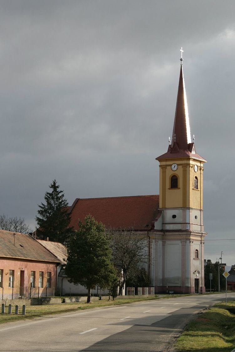
Kamenný Most (Hungarian: Kőhídgyarmat) is a village and municipality in the Nové Zámky District in the Nitra Region of south-west Slovakia.
Contents
Map of Kamenn%C3%BD Most, Slovakia
Geography
The village lies at an altitude of 114 metres and covers an area of 20.336 km².
History
In historical records the village was first mentioned in 1271 After the Austro-Hungarian army disintegrated in November 1918, Czechoslovak troops occupied the area, later acknowledged internationally by the Treaty of Trianon. Between 1938 and 1945 Kamenný Most once more became part of Miklós Horthy's Hungary through the First Vienna Award. From 1945 until the Velvet Divorce, it was part of Czechoslovakia. Since then it has been part of Slovakia.
Population
On 31 December 2011, it had a population of 1054 people.
Facilities
The village has a public library and a football pitch.