Population Uninhabited | ||
 | ||
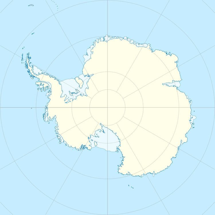
Kamelen Island is an island about 45 metres (150 ft) high, lying 6 kilometres (3 nmi) southwest of the Einstøding Islands in the northern part of the Stanton Group, Antarctica. This island was mapped from air photographs by the Lars Christensen Expedition (1936–37) and named Kamelen (the camel).
References
Kamelen Island Wikipedia(Text) CC BY-SA
