
Time zone IST (UTC+5:30) Area 4 km² Local time Saturday 11:19 AM | Founded by Prathap Peruri Vehicle registration TS 04 Elevation 104 m | |
 | ||
Weather 34°C, Wind SW at 8 km/h, 46% Humidity | ||
Kallur is a census town in Khammam district in the Indian state of Telangana.
Contents
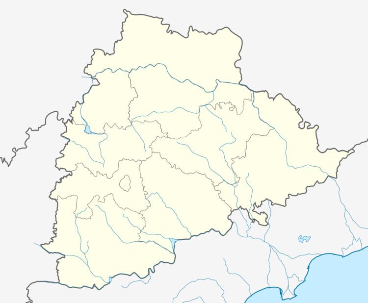
Map of Kallur, Telangana 507209
Geography
Kallur is located at 17.2°N 80.55°E / 17.2; 80.55. It has an average elevation of 104 metres (341 feet). Very near to Andhra Pradesh state capital Amaravathi, and vijayawada. Politicians like Ponguleti sudhakar reddy (MLC Congress), Ponguleti Srinivasareddy (MP Loksabha) are native of Narayanpuram(vi) kallur(MD).
Demographics
As of 2001 India census, Kallur had a population of 52,880. Males constitute 51% of the population and females 49%. Kallur has an average literacy rate of 43%, lower than the national average of 59.5%: male literacy is 54%, and female literacy is 32%. In Kallur, 14% of the population is under 6 years of age.
References
Kallur, Khammam district Wikipedia(Text) CC BY-SA