
Country India District Kalimpong Lok Sabha constituency Darjeeling Area 303 km² | State West Bengal Time zone IST (UTC+5:30) Vidhan Sabha constituency Kalimpong Population 66,830 (2011) | |
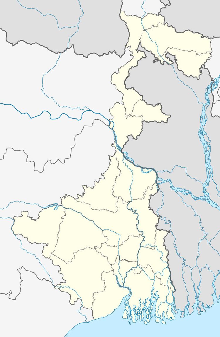 | ||
Kalimpong II (community development block) is an administrative division of Kalimpong district in the Indian state of West Bengal. Kalimpong police station serves this block. Headquarters of this block is at Algarah.
Contents
Geography
Algarah is located at 27°07′12″N 88°35′35″E. Kalimpong II community development block has an area of 303.00 km2.
Kalimpong II block consists of rural areas only with 13 gram panchayats, viz. Dalapchand, Kashyong, Lole, Lingseykha, Gitabling, Lava-Gitabling, Payong, Kagay, Lingse, Shangse, Pedong, Syakiyong and Shantook.
Demographics
As per 2011 Census of India Kalimpong II CD Block had a total population of 66,830, all of which were rural. There were 34,546 males and 32,284 females. Scheduled Castes numbered 1,961 and Scheduled Tribes numbered 24,773.
Literacy
As per 2011 census the total number of literates in Kalimpong II CD Block was 47,520 out of which 26,380 were males and 21,140 were females.