
3-digit postal code prefix 820 Local time Friday 9:18 PM | Time zone WAT (UTC+1) Area 925 km² | |
 | ||
Weather 27°C, Wind SE at 6 km/h, 10% Humidity | ||
Kaita is a Local Government Area in Katsina State, Nigeria, sharing a border in the north with the Republic of Niger. Its headquarters are in the town of Kaita.
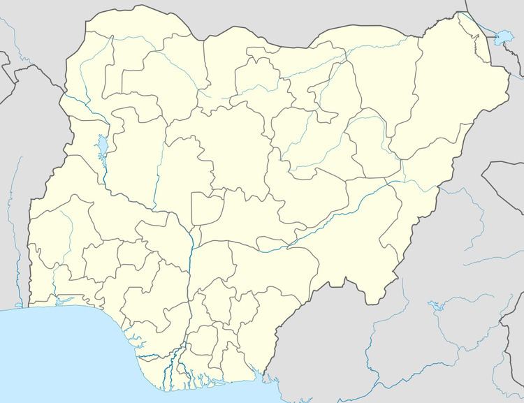
Map of Kaita, Nigeria
There are many villages under Kaita that are traditionally headed by District Heads or Magaddai as they are called in Hausa. The villages serve as wards and so produce the local government councillors.
Prominent among these villages include Dankama, Girka, Dutsen Safe, Yandaki and Yanhoho.
It has an area of 925 km² and a population of 184,401 at the 2006 census.
The postal code of the area is 820.
References
Kaita, Nigeria Wikipedia(Text) CC BY-SA