
Time zone EAT (UTC+3) Local time Friday 11:16 PM | Elevation 640 m | |
 | ||
Weather 26°C, Wind SE at 5 km/h, 69% Humidity | ||
Location
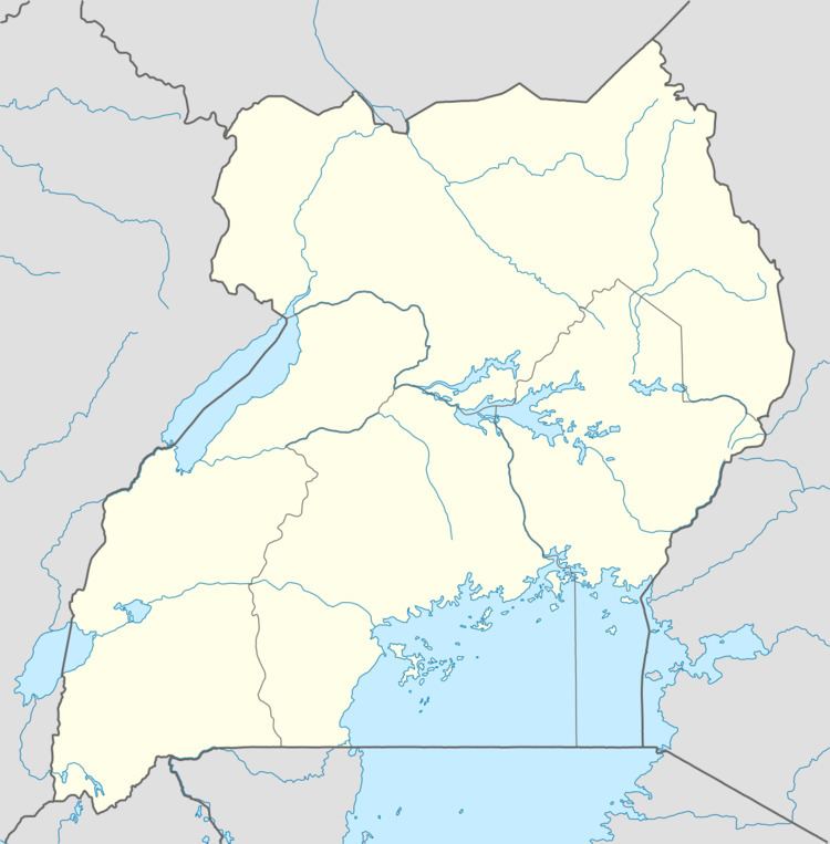
Kaiso is located on the eastern shores of Lake Albert, in Hoima District. It lies approximately 61 kilometres (38 mi), by road, west of the district headquarters at Hoima, along the Hoima–Kaiso–Tonya Road. This location is approximately 258 kilometres (160 mi), by road, northwest of Kampala, Uganda's capital and largest city. The coordinates of Kaiso are:1°31'48.0"N, 30°57'58.0"E (Latitude:1.5300; Longitude:30.9661).
Overview
Kaiso lies in the oil-rich Albertine Graben. Tullow Oil, one of the International oil companies prospecting in the area has built social enterprise infrastructure in or near Kaiso, worth US$2.6 million, including: (a) Kyehoro Maternity Health Centre (b) Sebagoro Health Centre III (c) Kaiso Primary School and (d) Kyehoro Primary School.