
District Hoogly PIN 712405 Elevation 18 m | Time zone IST (UTC+5:30) Telephone code 91 3212 Population 28,178 (2011) | |
 | ||
Kaikala (Kaikala) is a village in Hooghly District in the Indian state of West Bengal.
Contents
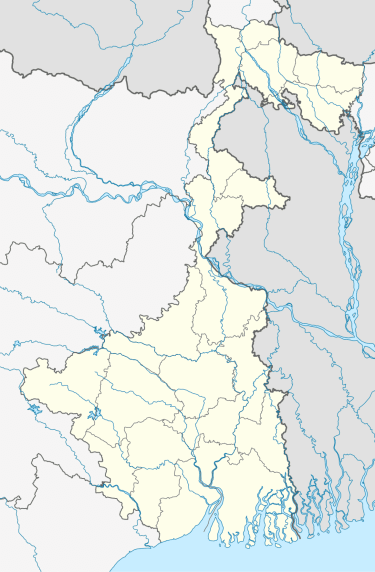
Map of Kaikala, West Bengal
Geography
Kaikala is located at 22.86°N 88.09°E / 22.86; 88.09. It has an average elevation of 18 metres (59 ft).
Demographics
As of 2011 India census, Kaikala had a population of 28,178. Males constitute 56% of the population and females 44%. Kaikala has an average literacy rate of 72%, higher than the national average of 59.5%: male literacy is 78%, and female literacy is 66%. In Kaikala, 10% of the population is under 6 years of age.
Economics
This is a rich agricultural area with several cold storages.
Transport
The Howrah-Tarakeswar line was opened in 1885. Kaikala is 10 km far from Tarakeswar rail station.
References
Kaikala (village) Wikipedia(Text) CC BY-SA