
Coat of arms Flag Rural localities 40 | rural settlement 8 Area 1,391 km² | |
 | ||
Administrative center | ||
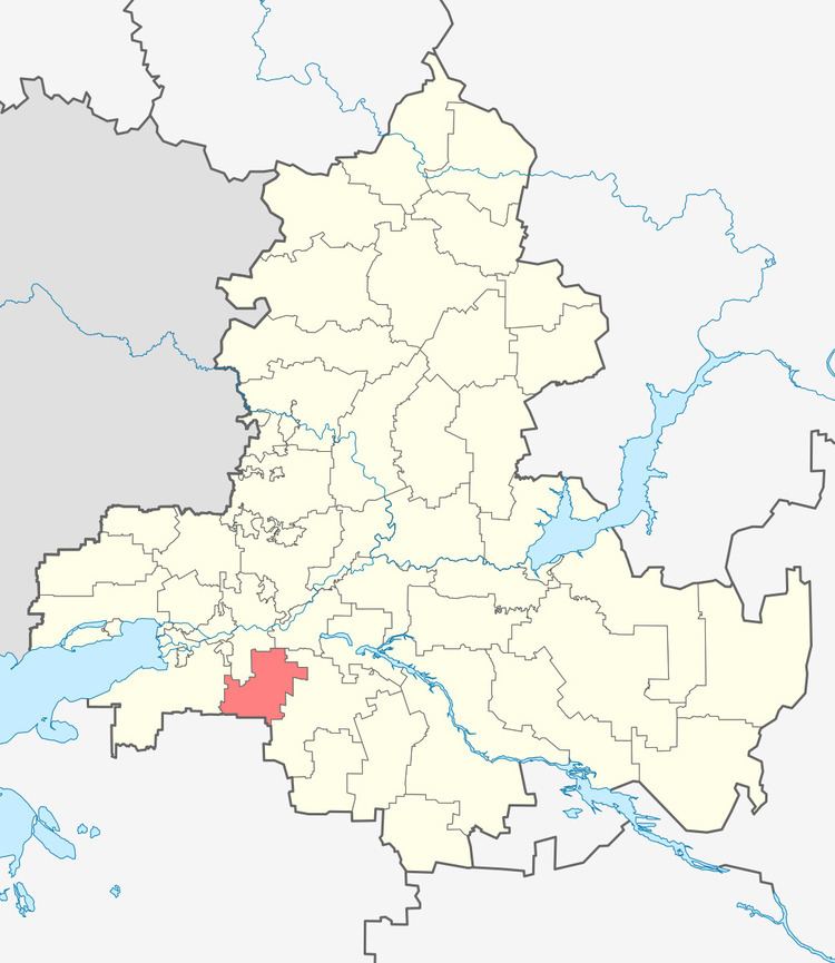
Kagalnitsky District (Russian: Кагальницкий райо́н) is an administrative and municipal district (raion), one of the forty-three in Rostov Oblast, Russia. It is located in the southwest of the oblast. The area of the district is 1,391 square kilometers (537 sq mi). Its administrative center is the rural locality (a stanitsa) of Kagalnitskaya. Population: 30,489 (2010 Census); 31,189 (2002 Census); 27,901 (1989 Census). The population of Kagalnitskaya accounts for 22.4% of the district's total population.
Map of Kagalnitsky District, Rostov Oblast, Russia
References
Kagalnitsky District Wikipedia(Text) CC BY-SA