
Time zone EET (UTC+2) | Subdistrict Al-Qadmus Local time Friday 5:45 PM | |
 | ||
Weather 7°C, Wind SW at 24 km/h, 82% Humidity | ||
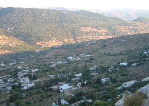
Kaff al-Jaa (Arabic: كاف الجاع, pronounced Kāf al Jā`; also spelled Kaf al-Jaz) is a village in northwestern Syria, administratively part of the Tartus Governorate, located northeast of Tartus. Nearby localities include al-Qadmus to the west, Deir Mama to the northeast, Masyaf to the east, Wadi al-Oyun to the south and Hammam Wasel to the southwest. According to the Syria Central Bureau of Statistics, Kaff al-Jaa had a population of 2,068 in the 2004 census. Its inhabitants are predominantly Alawites.
Map of Kaff al-Jaa, Syria
The surrounding area is marked by the mountains. The highest mountain of Kaff al-Jaa is the Alcaadboon, with a height of 1,194 meters.
References
Kaff al-Jaa Wikipedia(Text) CC BY-SA