
Country Philippines Founded 1950 Time zone PST (UTC+8) Province Apayao | District Lone District Barangays Area 935.1 km² Local time Friday 8:25 PM | |
 | ||
Region Cordillera Administrative Region (CAR) Weather 23°C, Wind N at 3 km/h, 82% Humidity Neighborhoods Bulu, Mabbut, Barangay Musimut, Luttuacan | ||
Kabugao, officially the Municipality of Kabugao (Ilocano: Ili ti Kabugao; Filipino: Bayan ng Kabugao), is a municipality in the province of Apayao in the Cordillera Administrative Region (CAR) of the Philippines, serving as the provincial capital. The population was 15,537 at the 2015 census. In the 2016 electoral roll, it had 9,998 registered voters.
Contents
Map of Kabugao, Apayao, Philippines
Geography
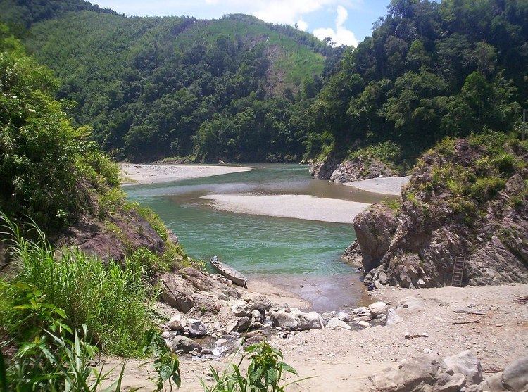
Kabugao is located at 17°50′N 121°16′E.
According to the Philippine Statistics Authority, the municipality has a land area of 935.12 square kilometres (361.05 sq mi) constituting 7001211900000000000♠21.19% of the 4,413.35-square-kilometre- (1,704.00 sq mi) total area of Apayao.
Barangays
Kabugao is politically subdivided into 21 barangays.
Dibagat
Dibagat is inhabited by the Isnag and the Ilocano. There is a small grass airstrip built by SIL in 1985. Dibagat is accessible only by canoe or by specialized aircraft.
Demographics
In the 2015 census, Kabugao had a population of 15,537. The population density was 17 inhabitants per square kilometre (44/sq mi).
In the 2016 electoral roll, it had 9,998 registered voters.