
Country United States County Saint Louis Time zone Central (CST) (UTC-6) Elevation 363 m | State Minnesota ZIP code 56669 Local time Friday 6:46 AM | |
 | ||
Weather -1°C, Wind S at 10 km/h, 93% Humidity | ||
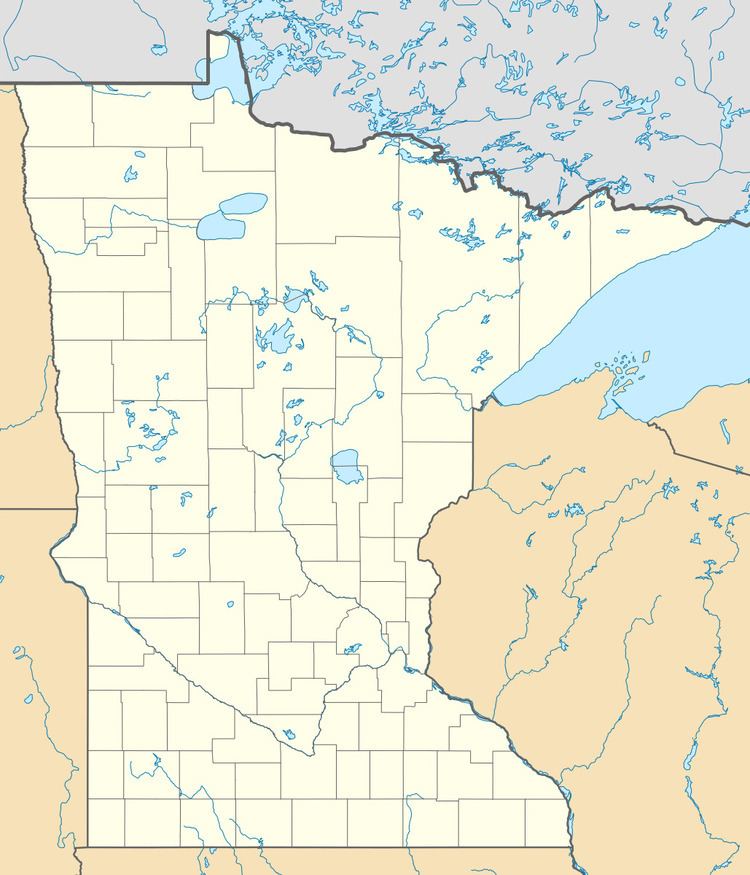
Kabetogama is an unincorporated community in Kabetogama Township, Saint Louis County, Minnesota, United States, located within the Kabetogama State Forest.
Map of Kabetogama, MN 56669, USA
The community is located 27 miles southeast of International Falls on Saint Louis County Roads 122 and 123. Kabetogama is located 49 miles north of Cook.
U.S. Highway 53 is nearby. Voyageurs National Park is in the vicinity. The boundary line between Saint Louis and Koochiching counties is also nearby.
References
Kabetogama, Minnesota Wikipedia(Text) CC BY-SA