
Elevation 539 m Population 62 (2006) | Postal code 377 01 Area 8.73 km² | |
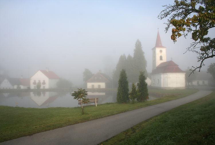 | ||
Kačlehy is a village and municipality (obec) in Jindřichův Hradec District in the South Bohemian Region of the Czech Republic.
Map of 377 01 Ka%C4%8Dlehy, Czechia
The municipality covers an area of 8.73 square kilometres (3.37 sq mi), and has a population of 62 (as at 3 July 2006).
Kačlehy lies approximately 8 kilometres (5 mi) south-east of Jindřichův Hradec, 47 km (29 mi) east of České Budějovice, and 119 km (74 mi) south-east of Prague.
References
Kačlehy Wikipedia(Text) CC BY-SA