
Length 364.5 km | ||
 | ||
South end: US-56, Oklahoma state line, near Elkhart North end: N-27, Nebraska state line, south of Haigler Counties Morton County, Kansas, Stanton County, Kansas | ||
K-27 is a long north–south state highway that parallels Kansas' western border with Colorado. It begins in Elkhart at the Oklahoma state line and travels through the seven counties that border Colorado until reaching its northern terminus in Cheyenne County north of St. Francis, where it ends at the Nebraska state line (effectively becoming like-numbered Nebraska Highway 27).
Contents
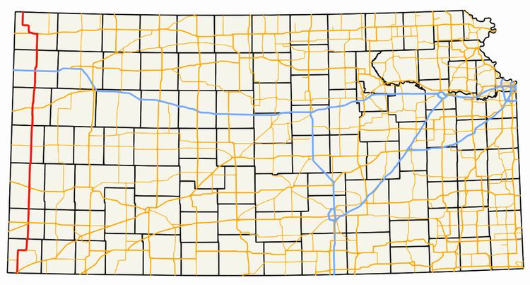
Map of KS-27, Kansas, USA
Time zones
The highway changes time zones not once, but twice, during its trek through Kansas, the only highway in the state to do so. Central Standard Time is observed in Morton and Stanton Counties after entering Oklahoma, but the time zone changes to Mountain Standard Time when the highway crosses from Stanton into Hamilton County. Hamilton and the next three counties to the north (Greeley, Wallace, and Sherman) observe Mountain time, but clocks revert to Central Time at the Sherman County-Cheyenne County line.
Concurrencies
The highway has a seven-mile (11 km) concurrency with US-36, the major east–west route through the northernmost counties of Kansas. The concurrency runs through the town of St. Francis before K-27 continues north towards Nebraska and US-36 heads west to Colorado. In Goodland, the highway briefly shares a route with U.S. Business 24, spur of US-24 which runs through downtown Goodland.
K-27 also makes a brief jog along a half-mile concurrency with US-50 and US-400 in Syracuse. US-160 and K-27 also meet briefly in Johnson City; however, K-27 remains along its alignment during this concurrency.
The only concurrency with another state highway is with K-51, an east–west route, in Morton County in Richfield.