
Area 4.79 km² Population 768 (1 Jan 2012) | Postal code 683 57 Elevation 209 m Local time Monday 1:14 AM | |
 | ||
Weather 8°C, Wind W at 14 km/h, 94% Humidity | ||
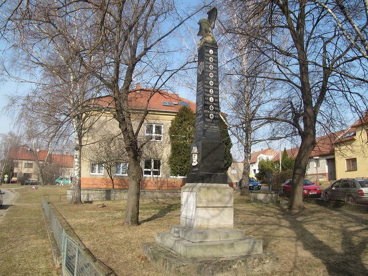
Křižanovice is a village and municipality (obec) in Vyškov District in the South Moravian Region of the Czech Republic.
Map of 685 01 K%C5%99i%C5%BEanovice, Czechia
The municipality covers an area of 4.79 square kilometres (1.85 sq mi), and has a population of 716 (as at 3 July 2006).
Křižanovice lies approximately 15 kilometres (9 mi) south of Vyškov, 25 km (16 mi) east of Brno, and 210 km (130 mi) south-east of Prague.
References
Křižanovice (Vyškov District) Wikipedia(Text) CC BY-SA