
District Žďár nad Sázavou Elevation 583 m | Postal code 592 31 Area 4.53 km² | |
 | ||
Website | ||
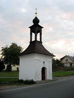
Křídla is a village and municipality (obec) in Žďár nad Sázavou District in the Vysočina Region of the Czech Republic.
Map of 592 31 K%C5%99%C3%ADdla, Czechia
The municipality covers an area of 4.53 square kilometres (1.75 sq mi), and has a population of 285 (as at 28 August 2006).
Křídla lies approximately 14 kilometres (9 mi) east of Žďár nad Sázavou, 42 km (26 mi) east of Jihlava, and 138 km (86 mi) south-east of Prague.
References
Křídla Wikipedia(Text) CC BY-SA