
Local time Monday 12:01 AM | Population 160 | |
 | ||
Weather 8°C, Wind W at 19 km/h, 90% Humidity | ||
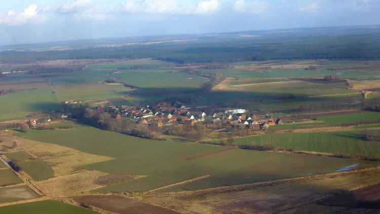
Kłopot [ˈkwɔpɔt] (literally: "trouble"; German: Kloppitz) is a village in the administrative district of Gmina Cybinka, within Słubice County, Lubusz Voivodeship, Poland close to the border with Germany.
Contents
Map of K%C5%82opot, Poland
Geography
It lies approximately 11 kilometres (7 mi) south-west of Cybinka, on the road to Rąpice, near the eastern banks of the Oder river opposite the German town of Eisenhüttenstadt. The village is located about 26 km (16 mi) south of Słubice, 60 km (37 mi) west of Zielona Góra, and 77 km (48 mi) south-west of Gorzów Wielkopolski.
Kłopot is known for its high number of resident white storks and is surrounded by the Krzesin Landscape Park.
History
The settlement in former Lubusz Land was first mentioned in a 1350 deed issued by the Wittelsbach margrave Louis I of Brandenburg, who granted the Neumark estates to the Order of Saint John at Sonnenburg (Słońsk). Plans to connect the village to the Lower Lusatian town of Fürstenberg west of the Oder (today part of Eisenhüttenstadt), similar to the bridge at Frankfurt/Oder - Słubice, had existed since the Luxembourg emperor Charles IV became the sole ruler of both territories in 1373.
The building of a bridge was not finished until 1919; it was blown up by retiring Wehrmacht troops on 4 February 1945 after the Red Army had reached the river in the course of the Vistula-Oder Offensive. After World War II the area together with the Neumark region fell to the Republic of Poland (see Territorial changes of Poland after World War II) and the remaining German population was expelled.