
Area 35,250 km² Population 194,153 (2009) | Time zone GMT (UTC+0) Local time Sunday 6:53 PM | |
 | ||
Weather 36°C, Wind N at 6 km/h, 17% Humidity | ||
Kéniéba Cercle is a subdivision of the Kayes Region of Mali. The administrative center (chef-lieu) is the town of Kéniéba.
Map of Kenieba, Mali
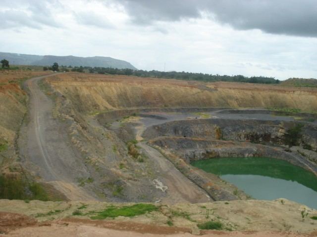
Kéniéba Cercle contains the Malian section of the hilly Bambouk region, the historic gold mining region of the Ghana Empire and the Mali Empire. Kéniéba Cercle is divided from the Senegalese Bambouk by the valley of the Falémé River.
The cercle is subdivided into twelve communes:
References
Kéniéba Cercle Wikipedia(Text) CC BY-SA