
Country Philippines Barangays ZIP code 6506 Province Leyte | District 2nd district of Leyte Time zone PST (UTC+8) Area 53.3 km² | |
 | ||
Region Eastern Visayas (Region VIII) Neighborhoods Anibong, Caridad, Gitabla, Calbasag, Aslum, Santa Cruz, Santo Niño | ||
Julita leyte district 2
Julita is a 5th class municipality in the province of Leyte, Philippines. According to the 2015 census, it has a population of 15,114 people.
Contents
Map of Julita, Leyte, Philippines
Julita is 47 kilometers from Tacloban, the capital city of Eastern Visayas. It is located between the municipalities of Dulag and Burauen.
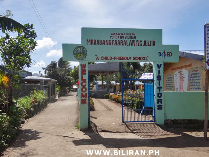
The municipality of Julita was created through presidential executive order 278 under President Elpidio Quirino. Agriculture is the main industry in the area, especially rice and coconut production. About 70% of the working population is engaged in agriculture. Most live below the poverty line, and many lack basic necessities of life.
Julita leyte 360 file 1
Barangays
Julita is politically subdivided into 26 barangays.
References
Julita, Leyte Wikipedia(Text) CC BY-SA