
Area 17.33 km² | Local time Tuesday 4:21 PM | |
 | ||
Weather 15°C, Wind NW at 13 km/h, 58% Humidity | ||
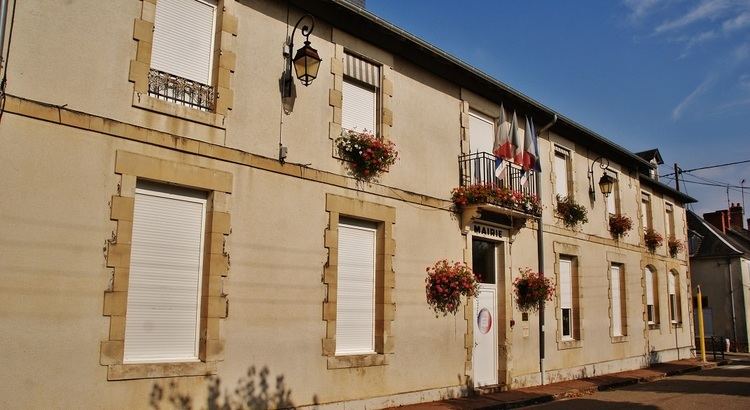
Jouet-sur-l’Aubois is a commune in the Cher department in the Centre region of France.
Contents
Map of 18320 Jouet-sur-l'Aubois, France
Geography
An area of forestry and farming comprising the village and a few hamlets situated by the banks of the rivers Aubois, Loire and the Loire lateral canal, some 22 miles (35 km) east of Bourges at the junction of the D12, D26 and the D920 roads.
Sights
References
Jouet-sur-l'Aubois Wikipedia(Text) CC BY-SA