
Country Mexico Municipal seat José María Morelos INEGI Code 23006 | State Quintana Roo Elevation 31 m (102 ft) | |
 | ||
Time zone Central Standard Time (UTC-6) | ||
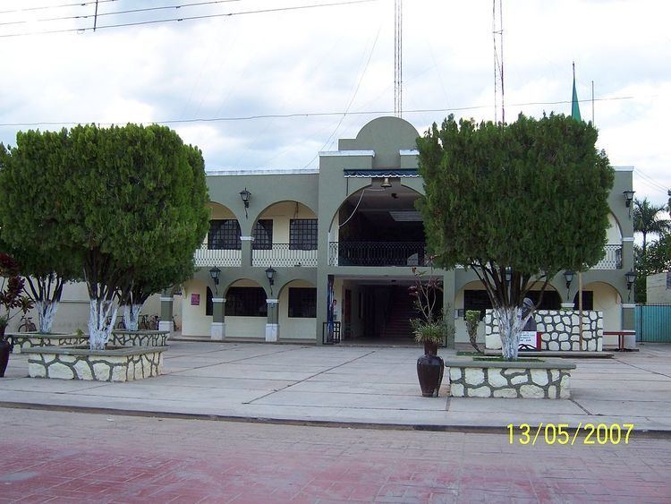
José María Morelos is one of the ten municipalities that make up the Mexican state of Quintana Roo.
Contents
Map of Jos%C3%A9 Mar%C3%ADa Morelos, Quintana Roo, Mexico
Geography
Like most of the Yucatan Peninsula José María Morelos is entirely flat with a gentle slope towards the sea, so from west to east.
Like the rest of the peninsula's surface the land has a limestone base that does not allow the formation of surface water flows such as rivers and streams, the water instead form flows in underground rivers that sometimes rise to the surface in cenotes. Lakes and centotes are the major bodies of water in the municipality.
Communities
There were 129 populated localities, as well as 132 unpopulated localities enumerated during the 2010 census.
The largest localities (cities, towns, and villages) are:
References
José María Morelos (municipality) Wikipedia(Text) CC BY-SA