
Time zone UTC -3 Dial plan +598 4538 (+4 digits) Local time Tuesday 5:13 AM | Postal code 75202 Population 2,120 (2011) | |
 | ||
Weather 13°C, Wind N at 8 km/h, 79% Humidity | ||
José Enrique Rodó is a small town in the Soriano Department of western Uruguay.
Contents
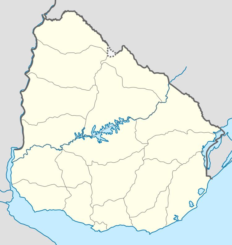
- Map of Jose Enrique Rodo Soriano Department Uruguay
- Location
- History
- Population
- Places of worship
- References
Map of Jose Enrique Rodo, Soriano Department, Uruguay
Location
The town is located on Route 2, about 26 kilometres (16 mi) northwest of Cardona and 70 kilometres (43 mi) southeast of the city of Mercedes.
History
On 12 June 1924, the populated centre was declared a "Pueblo" (village) by the Act of Ley N° 7.729. Previously, it had been head of the judicial sections "San Martin" and "Costa Durazno". On 17 November 1964, its status was elevated to "Villa" (town) by the Act of Ley N° 13.299.
Population
In 2011 José Enrique Rodó had a population of 2,120.
Source: Instituto Nacional de Estadística de Uruguay
Places of worship
References
José Enrique Rodó, Uruguay Wikipedia(Text) CC BY-SA