
 | ||
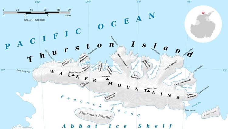
Jordan Nunatak (72°9′S 101°4′W) is a nunatak standing between the heads of Rochray Glacier and Cox Glacier in the southwest part of Thurston Island, Antarctica. It was mapped by the United States Geological Survey from ground surveys and U.S. Navy air photos, 1960–66, and was named by the Advisory Committee on Antarctic Names for Joe Jordan of the U.S. Army Aviation Detachment, a helicopter mechanic on the Ellsworth Land Survey in the 1968–69 season.
Maps
References
Jordan Nunatak Wikipedia(Text) CC BY-SA