
Width 22 km (13.7 mi) Area 1,607 km² | Length 74 km (46 mi) Population 0 Archipelago Joinville Island group | |
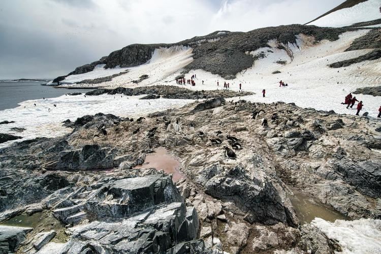 | ||
Joinville Island is the largest island of the Joinville Island group, about 40 nmi (74 kilometres) long in an east-west direction and 12 nmi (22 kilometres) wide, lying off the northeastern tip of the Antarctic Peninsula, from which it is separated by the Antarctic Sound. Joinville Island was discovered and charted roughly during 1838 by a French expedition commanded by Captain Jules Dumont d'Urville, who named it for Prince François, Prince of Joinville (1818–1900), the third son of Louis-Philippe, Duke of Orléans. It is within the Argentine, British and Chilean Antarctic claims.
Map of Joinville Island, Antarctica
References
Joinville Island Wikipedia(Text) CC BY-SA