
City Berlin Time zone CET/CEST (UTC+1/+2) Elevation 34 m | State Berlin Founded 1753 Postal codes (nr. 0904) 12487 Area 6.54 km² | |
 | ||
Johannisthal is a German locality (Ortsteil) within the Berlin borough (Bezirk) of Treptow-Köpenick. Until 2001 it was part of the former borough of Treptow.
Contents
Map of Johannisthal, Berlin, Germany
History
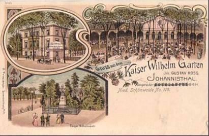
The first mention of the locality was on November 16, 1753. In 1880 it was served by a train station on the Berlin-Görlitzer Eisenbahn and in 1884 it was awarded by the title of Bad (bath), becoming Bad Johannisthal. From 1905 to 1906 it was built the town hall and in 1920 the town merged into Berlin with the "Greater Berlin Act". As part of East Berlin bordering with Neukölln (West Berlin), its borders were crossed by the Berlin Wall from 1961 to 1989.
Overview
Located in the south-eastern side of the city, not too far from the river Spree, Johannisthal borders with the localities of Baumschulenweg, Niederschöneweide, Adlershof, Altglienicke and Rudow (this one in Neukölln district). Its urban park is the Königsheide.
Subdivision
Johannisthal is subdivided into 7 zones (Ortslagen):
Transport
Germany's first airport, located between Johannisthal and Adlershof, the "Johannisthal Air Field", was opened on September 26, 1909and officially closed in 1995.
As urban railways, the locality is served by the S-Bahn lines S45, S46, S47, S8, S85 and S9 at the stations of Schöneweide and Betriebsbahnhof Schöneweide, located at its eastern borders. It is also served by the tramway lines M17, 21, 27, 67 and mainly the 63, that ends in the middle of the quarter. Johannisthal is crossed, at its southern borders by the motorway A113. It is served by the exits n.4 ("Stubenrauchstraße") and n.5 ("Adlershof").