
Postcode(s) 3238 Local time Sunday 6:34 PM | LGA(s) Colac Otway Shire Postal code 3238 | |
 | ||
Location 213 km (132 mi) SW of Melbourne140 km (87 mi) SW of Geelong115 km (71 mi) NE of Warrnambool41 km (25 mi) W of Apollo Bay Weather 19°C, Wind S at 8 km/h, 81% Humidity Points of interest Great Ocean Road, Johanna Beach, Sutherlands Beach | ||
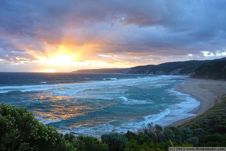
Johanna is a small town on the coast of Victoria, Australia located west of Cape Otway in the Colac Otway Shire. It is named after the schooner Joanna that was wrecked at the mouth of the Johanna River on 22 September 1843 .
Contents
Map of Johanna VIC 3238, Australia
History
Johanna Post Office opened on 1 November 1913 and closed in 1967.
The surfing beach at Johanna is a long stretch of beach breaks, or beach and reef, noted for its power and reputation for rapid jumps in size (doubling over the space of just a few hours). The Bells Beach Surf Classic competition has been moved from Bells Beach to Johanna on occasions when the surf at Bells was flat (such as in 2003 and 2010). The westerly facing of Johanna picks up swell that misses Bells and the Surf Coast.
References
Johanna, Victoria Wikipedia(Text) CC BY-SA