
Time zone UTC -3 Dial plan +598 2 (+7 digits) Population 6,570 (2011) | Postal code 91200 Founded 15 October 1882 Local time Saturday 10:34 PM | |
 | ||
Weather 19°C, Wind NE at 0 km/h, 66% Humidity | ||
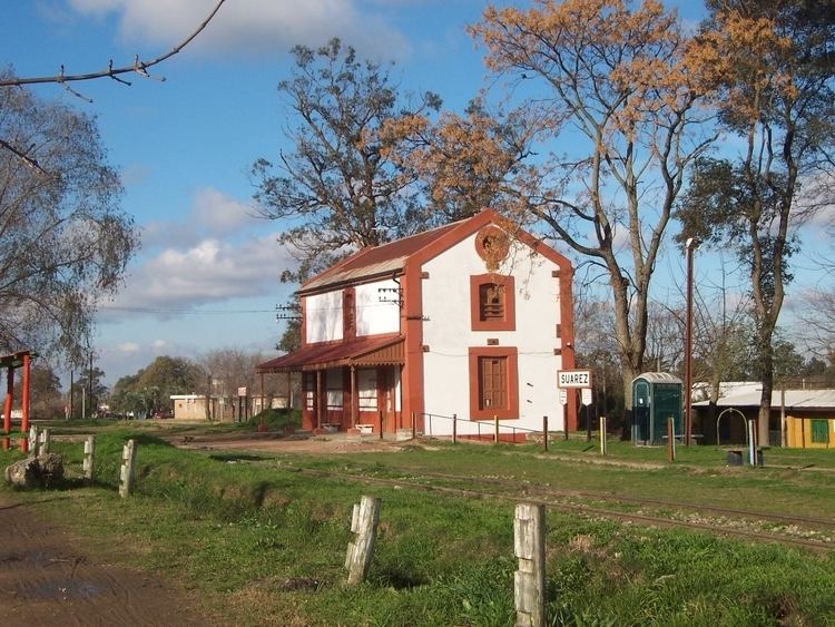
Joaquín Suárez is a village in the Canelones Department of southern Uruguay.
Contents
- Map of Joaquin Suarez Canelones Department Uruguay
- Location
- History
- Places of worship
- Population
- References
Map of Joaquin Suarez, Canelones Department, Uruguay
Suárez is also the name of the municipality to which the village belongs.
Location
The village is located on the intersection of Routes 84 and 74, northeast of Toledo and southwest of Pando. Sauce lies about 10 kilometres (6.2 mi) to the north. They are all considered parts of the wider metropolitan area of Montevideo.
History
It is named after Joaquín Suárez, President of Uruguay from 1843 to 1852. The foundation of a town (Villa) in this place was approved by Decree of 21 July 1866. It was founded on 15 October 1882 by Francisco Piria. It was declared a "Pueblo" (village) on 2 October 1929 by the Act of Ley Nº 8.482.
Places of worship
Population
In 2011 Joaquín Suárez had a population of 6,570.
Source: Instituto Nacional de Estadística de Uruguay