
Country Nepal District Ilam District Local time Sunday 3:09 AM | Zone Mechi Zone Time zone Nepal Time (UTC+5:45) Population 5,454 (1991) | |
 | ||
Weather 13°C, Wind N at 6 km/h, 70% Humidity | ||
Jitpur is a town and Village Development Committee in Ilam District in the Mechi Zone of eastern Nepal. At the time of the 1991 Nepal census it had a population of 5,454 persons residing in 989 individual households.
Contents
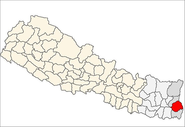
Map of Jitpur 57300, Nepal
Geography
Jitpur Village Development Committee (VDC) lies right in the middle of Ilam district. The Jitpur VDC has neighbouring Mangalbare VDC on North, Sangrumba VDC on the East and Sidhithumka VDC on the west. It is border with a small stream called, Lewa khola (stream) with Mangalbare VDC. It consists of nine wards, with a central office in ward number 4, Nawami where a 10 plus 2 school and a few retail shops are allocated. Jitpur is accessible with a gravel motorable road with bus services in the winter and 4x4 taxis even monsoon seasons. It takes about 2 hours drive from Ilam and 3–5 hours on foot.
Society
This village has varieties of integrated communities of Rais, Magars, Limbus, Tamangs, BKs, Tailors, Giri, Bramans, Kshetris and others together.
Interesting places to visit
Dholedevi in ward number 1, Jhyaupokhari, Ajambare Danda, terraced-paddy fields, orange and cardamom gardens, tea gardens and a large tea factory named Mist Valley Tea Industry Pvt. Ltd.