Elevation 578 m | Postal code 391 31 to 391 33 Area 57.94 km² | |
 | ||
Website | ||
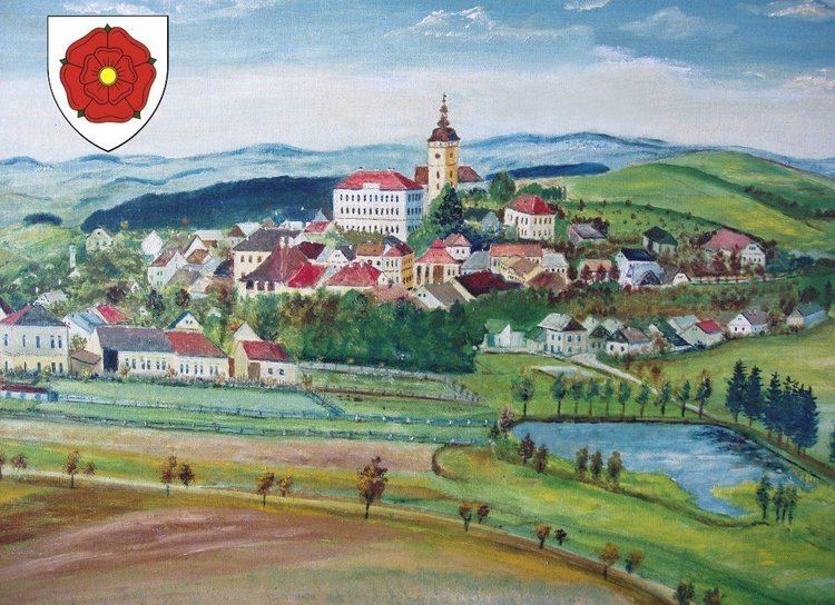
Jistebnice (German Gistebnitz, older Gistebning) is a town and municipality (obec) in Tábor District in the South Bohemian Region of the Czech Republic.
Map of Jistebnice, Czechia
The municipality covers an area of 57.94 square kilometres (22.37 sq mi), and has a population of 2,012 (as at 2 October 2006).
Jistebnice lies approximately 13 kilometres (8 mi) north-west of Tábor, 58 km (36 mi) north of České Budějovice, and 67 km (42 mi) south of Prague.
Jistebnice became a town for the first time before 1654. It lost this statute after 1945 and it became a town again on 17 October 2011.
References
Jistebnice Wikipedia(Text) CC BY-SA
