
Country Philippines Time zone PST (UTC+8) Area 234.8 km² Province Eastern Samar | Barangays ZIP code 6804 Local time Sunday 4:42 AM | |
 | ||
Region Eastern Visayas (Region VIII) Congr. district Lone district of E. Samar Weather 24°C, Wind N at 2 km/h, 97% Humidity | ||
Jipapad is a fifth class municipality in the province of Eastern Samar, Philippines. According to the 2015 census, it has a population of 7,885 people.
Contents
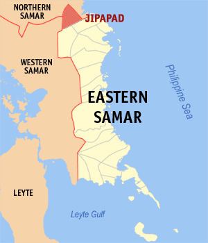
Map of Jipapad, Eastern Samar, Philippines
Barangays
Jipapad is politically subdivided into 13 barangays.
Demographics
The population of Jipapad in the 2015 census was 7,885 people, with a density of 34 inhabitants per square kilometre or 88 inhabitants per square mile.
References
Jipapad, Eastern Samar Wikipedia(Text) CC BY-SA