
Population 185 (2006 census) LGA(s) Western Downs Region Postal code 4406 | Postcode(s) 4406 State electorate(s) Warrego Federal division Division of Maranoa | |
 | ||
Location 236 km (147 mi) W of Brisbane
109 km (68 mi) NW of Toowoomba
26 km (16 mi) N of Dalby
23 km (14 mi) S of Jandowae Weather 18°C, Wind SE at 8 km/h, 85% Humidity | ||
Jimbour is a town in the northern Darling Downs region of Queensland, Australia. The town is in the locality of Jimbour East in the Western Downs Region local government area, 236 kilometres (147 mi) west of the state capital, Brisbane. At the 2006 census, Jimbour and the surrounding area had a population of 185.
Contents
History
The town name was first used by 1841 by Henry Dennis for his pastoral run, with the apparent meaning of either "sheep" or "good grass" in an unrecorded Aboriginal language.
Jimbour Post Office opened on 1 September 1882.
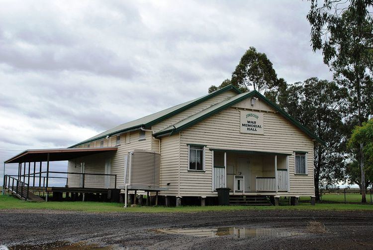
The Jimbour Memorial Hall is the second such building on that site, the first having blown down in a severe storm in 1949.
Amenities
Facilities in the town include a primary school, a post office, butchery and a town hall.
Heritage listings
Jimbour has a number of heritage-listed sites, including: