
Topo map NTS 92H/11 Elevation 2,107 m | Prominence 237 m | |
 | ||
Volcanic arc/belt Pemberton Volcanic BeltCanadian Cascade Arc People also search for Coquihalla Mountain, Illal Mountain, Yak Peak | ||
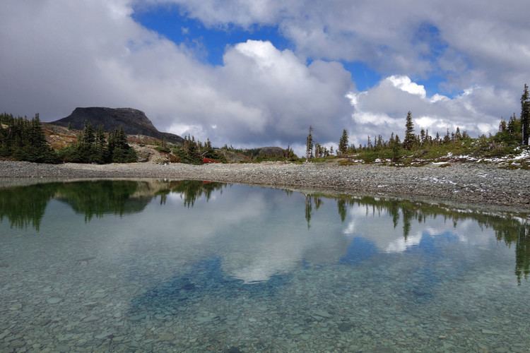
Jim Kelly Peak, also called Jim Kelly Mountain and Mount Jim Kelly, is the unofficial name conferred by bivouac.com for a mountain in southwestern British Columbia, Canada, located 11 km (6.8 mi) south of Falls Lake and 20 km (12 mi) west of Tulameen. It lies in the Bedded Range of the northern Canadian Cascades.
Map of Jim Kelly Peak, Okanagan-Similkameen H, BC, Canada
The mountain is a lava dome composed of andesite only 1 km (0.62 mi) away from the eastern flank of Coquihalla Mountain, a larger but more rugged volcano. These two volcanoes form part of the deeply eroded Pemberton Volcanic Belt, which forms the oldest part of the Canadian Cascade Arc.
References
Jim Kelly Peak Wikipedia(Text) CC BY-SA