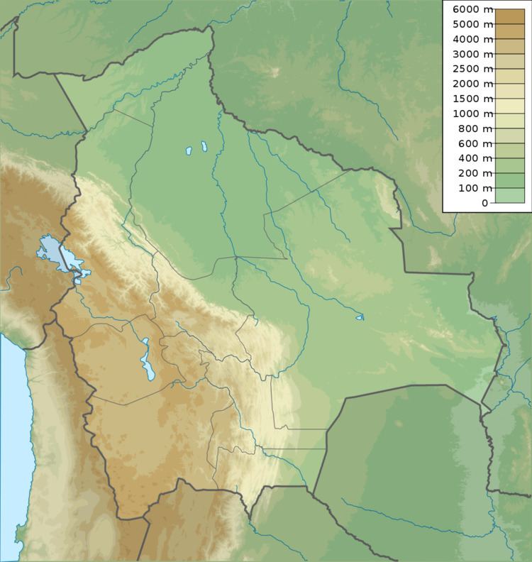
Parent range Andes, Apolobamba | Elevation 5,423 m | |
 | ||
Location Bolivia,
La Paz Department, Franz Tamayo Province, Pelechuco Municipality Mountain range Cordillera Apolobamba, Andes | ||
Jichu Qullu or Jichuqullu (Aymara jichu ichhu (Peruvian feather grass), qullu mountain, "ichhu mountain", also spelled Ichocollo) is a mountain in the Apolobamba mountain range at the border of Bolivia and Peru, about 5,423 metres (17,792 ft) high. According to the Bolivian IGM (Instituto Geográfico Militar) map and a map edited by the Peruvian Ministry of Education it is located in the La Paz Department, Franz Tamayo Province, Pelechuco Municipality, near 14°41′57″S 69°14′55″W. According to reports of mountaineers, however, its position is more to the west on the Peruvian border of the Puno Region, Putina Province, Ananea District, near 14°41′30″S 69°15′30″W. This information is based on a DAV (Deutscher Alpenverein) map of 1957.
Statements about the height of Jichu Qullu also vary considerably.
